Photograph: © SAF — Coastal Care
Excerpts;
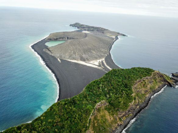
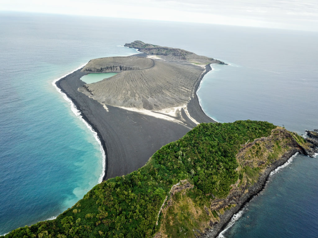
Excitement was in the air when research scientist Dan Slayback of NASA’s Goddard Space Flight Center in Greenbelt, Maryland, approached a small trio of islands in the South Pacific island nation of Tonga. It was October 8th, and Dan had joined the scientists and students with the Sea Education Association’s SEA Semester South Pacific cruise to visit a three-year-old island he’d only seen from space.
“There’s no map of the new land,” Dan said. It erupted from the rim of an underwater caldera in early 2015, nestled between two older islands. The older islands were on some nautical charts at coarse resolution, and the satellite observations appeared to show shallow beaches on the south side of the new island that would allow them to land. However, while satellites are powerful tools for looking at land on Earth, they are not omniscient about all the details on the ground – these beaches turned out to be too steep and the waves too rough for an easy landing.
When the volcanic island burst into being in January 2015 it immediately captured the attention of NASA scientists keen to understand how new islands form and evolve on Earth – which may also give them clues about how volcanic landscapes interacted with water on ancient Mars. The new Tongan island is one of only three that has erupted in the last 150 years that have survived the ocean’s eroding waves longer than a few months. Dan and his colleagues Jim Garvin at Goddard and Vicki Ferrini at Columbia University have been watching it from satellites since its birth, trying to make a 3D model of its shape and volume as it changes over time to understand how much material has been eroded and what it is made of that makes it partially resistant to erosion. But while high-resolution satellite observations are revolutionary for studying remote regions – such as tiny islands in the vast Pacific Ocean – they can only tell you so much without actually visiting the place on the ground…


