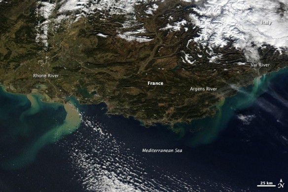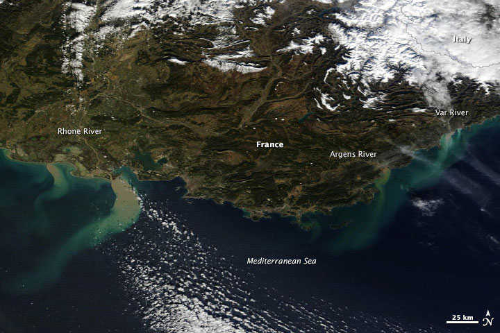
Days of heavy rain flooded southeastern France and northern Italy in January 2014. Topography and the size of the floods made the swollen rivers difficult to see by satellite, but extensive, mud-laden runoff created tan and green plumes of sediment visible in the Mediterranean. This image was acquired by the Moderate Resolution Imaging Spectroradiometer (MODIS) on NASA’s Terra satellite on January 21, 2014.The floods forced evacuations and two deaths, according to news reports.
Captions and Photo source: NASA / Earth Observatory
Excerpts;
River levels were receding early on Monday in southeastern France after historic floods left two people dead and more than 150 were airlifted to safety…
France floods: Aerial footage shows damage, BBC News

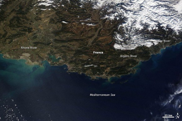
In contrast, this image (acquired January 25th, 2013) shows normal January conditions. The January 2014 floods forced evacuations and two deaths, according to news reports.
Captions and Photo source: NASA / Earth Observatory


