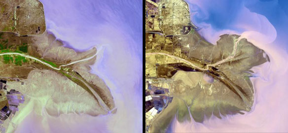
The Yellow River Delta in China. Left: 2001. Right: 2009. The Yellow River is the second-longest river in China, and the sixth-longest in the world. It has been the cradle of Chinese civilization; but frequent devastating floods have also earned it the name of “China’s Sorrow.” Historical maps tell us that the river has undergone many dramatic changes in its course. Currently, the Yellow River ends in the Bohai Sea, yet its eastern terminus continues to oscillate from points north and south of the Shandong Peninsula. The two ASTER images, acquired in 2001 (left) and 2009 (right), dramatically show the changes. Captions and Images source: NASA
Excerpts;
Groundwater extraction for fish farms can cause land to sink at rates of a quarter-metre a year, according to a study of China’s Yellow River delta. The subsidence is causing local sea levels to rise nearly 100 times faster than the global average…

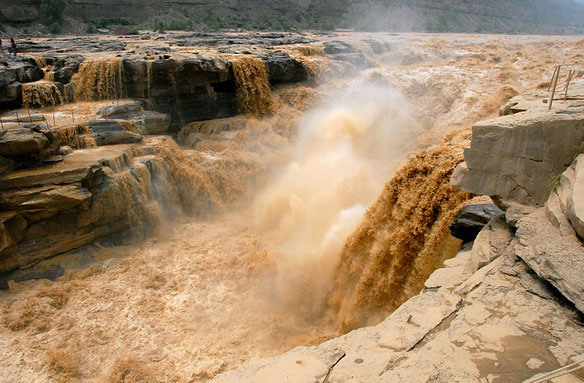
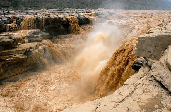
Yellow River, Hukou Waterfall, China. Photo source: ©© Leruswing


