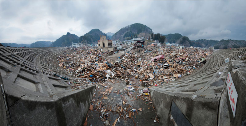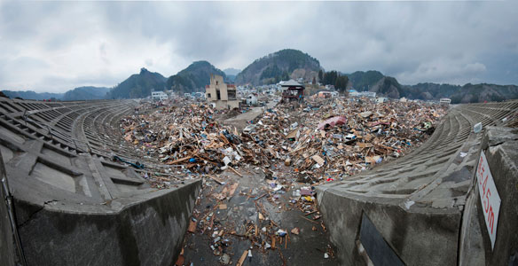
The wreckage of Taro seen from the top of the town’s tsunami wall. Caption and Photograph courtesy © Mark Edward Harris
Excerpts;
On a map of Japan that shows seismic hazards, the area around the prefecture of Fukushima is colored in green, signifying a fairly low risk, and yellow, denoting a fairly high one.
But since Japan sits on the collision of several tectonic plates, almost all of the country lies in an earthquake-risk zone…


