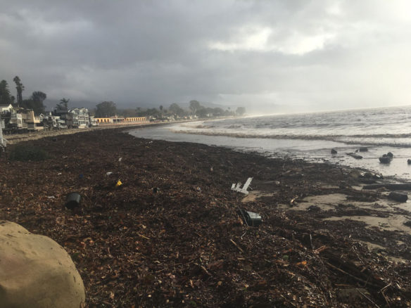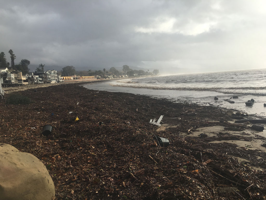
Miramar beach, Montecito, CA. On the Tuesday morning of the deadly mudslide affecting the area, Miramar beach – located at the receiving end of one of the steep downhill road gravely affected by rushing debris and mud flows – is covered with mud and debris of all kinds. Photograph: © SAF — Coastal Care
Excerpts;
The new, draft flood maps are out for Mexico Beach, FL. First, please understand the following. We know that FEMA’s flood maps are constructed differently from something like NOAA’s SLOSH Maximum of the Maximum Envelope of High Water (MEOW), or (MOM) which predicts the degree of storm surge flooding during the “perfect storm” along a particular shoreline. We also understand that FEMA’s flood maps are created primarily to establish flood insurance rates and to assist communities in reducing those flood insurance costs through the community rating system. These products were not developed to provide a comprehensive accounting of the coastal hazards facing any community or any individual parcel of land.
But here’s the problem, almost no one else understands this. Most coastal communities, like Mexico Beach, rely almost entirely on FEMA flood maps to understand their exposure to coastal hazards and risk to the community…
Read Full Article; Linked In; By Rob Young Director The Program for the Study of Developed Shorelines at Western Carolina University, (02-14-2019)


