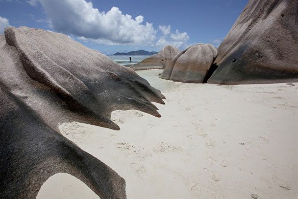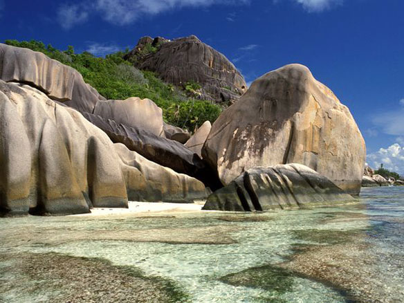
Photo Source: Sergio Pitamitz, National Geographic
Coastal Erosion in the Seychelles: Spectacular Rock Formations and Sand Patterns
By Lawrence Hislop
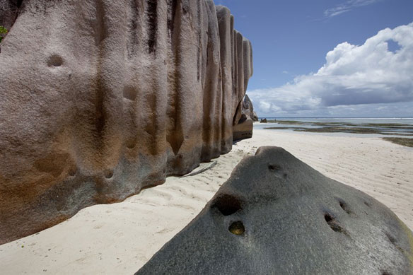
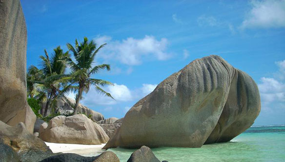
Climate change and sea level rise are shaping the Seychelles Islands in spectacular ways. Rocks along the coast have been worn away, leaving dramatic formations.
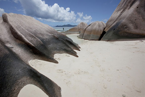
The Republic of Seychelles comprises of 115 islands in the Indian Ocean, around 1,600km East of Africa. The Seychelles is home to two UNESCO World Heritage Sites and is famous for it’s beautiful beaches for containing the oldest mid-oceanic granite islands.
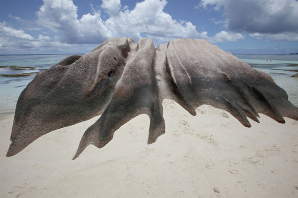
Spectacular rock formations.
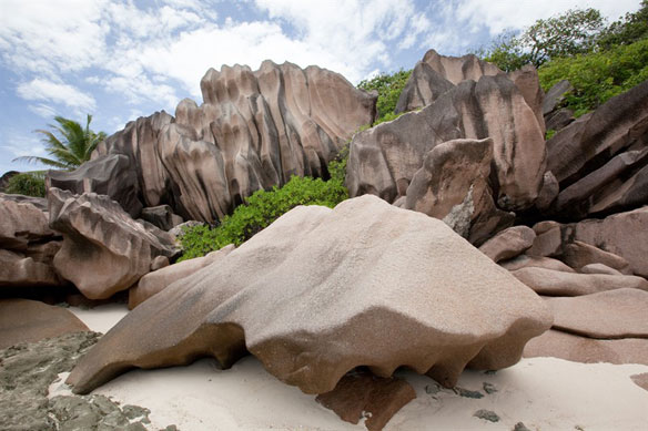
Smoothed rock formations.
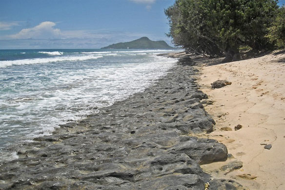
Stone waterline showing erosion.
These images show the extensive soil erosion that has been documented in the Seychelles, where climate change and subsequent sea level rise are shaping the landscape in spectacular and dramatic ways, and more importantly, leaving the coastline unprotected from storm surges and flash flood.
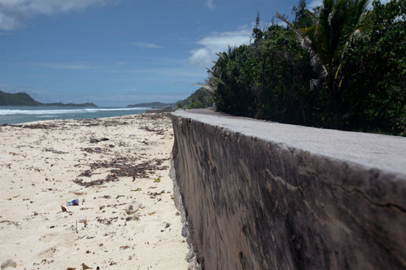
Coastal erosion has arisen as a result of both natural advance and retreat of the waterline and human activities such as the clearing of protective coastal mangroves and other coastal vegetation for agriculture, housing or roads.
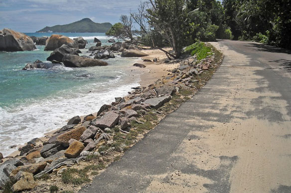
Protective stone wall by the roadside.
Various attempts have been made to protect these islands from further coastal erosion, with little more than temporary relief.
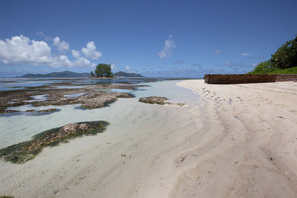
Clefts in the sand on the beaches are some of the more aesthetically pleasing changes, but there are more serious issues for locals.
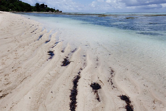
In a worst-case scenario, a simultaneous high-tide and flash flood could destroy substantial areas of populated land and infrastructure which have been developed on these low lying coral islands.
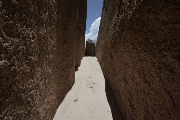
Smoothed rock formations in the Seychelles.
Photographs and Captions: Lawrence Hislop

