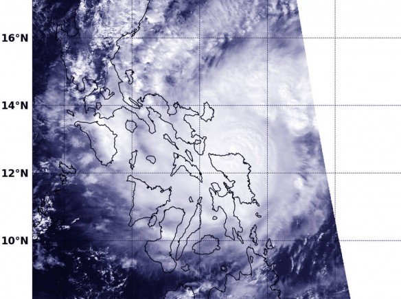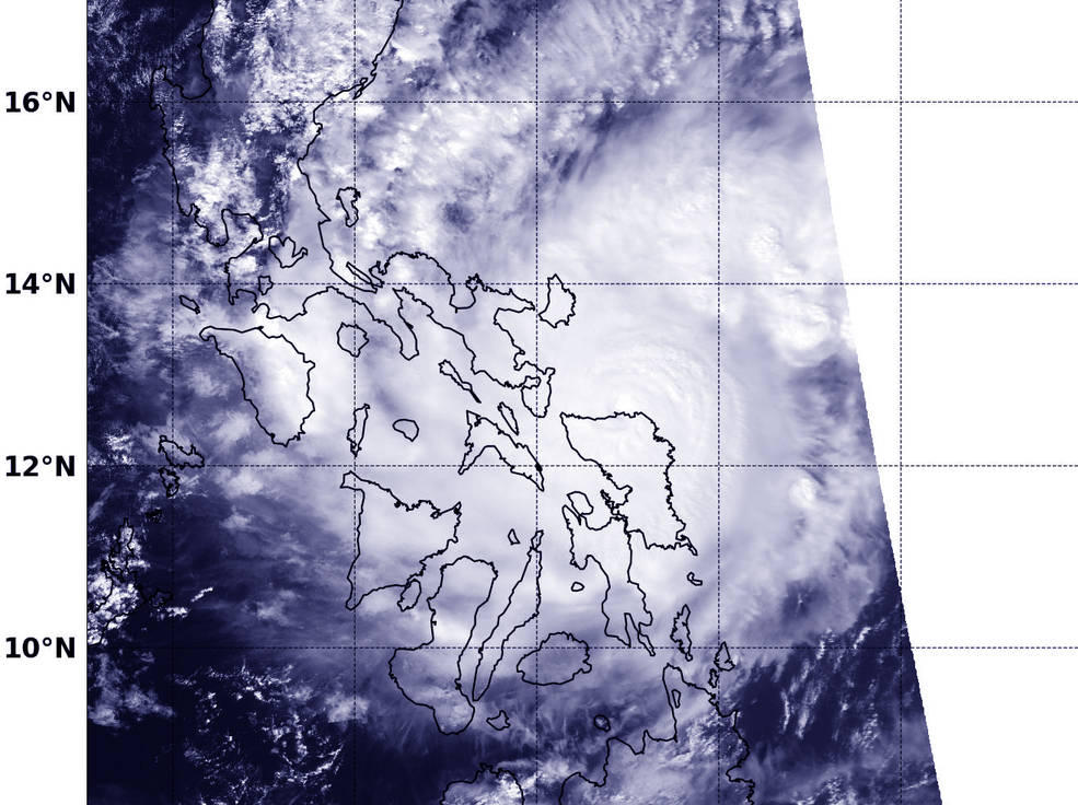
NASA-NOAA’s Suomi NPP satellite captured this image of Melor on Dec. 14 at 05:43 UTC (12:43 a.m. EST) as it was making landfall in eastern Visayas, Philippines. Photo source: NASA/NOAA/Jeff Schmaltz
Excerpts;
About 725,000 people fled their homes and communities braced for heavy rain and coastal floods of up to 13 feet as Typhoon Melor slammed Monday into the eastern Philippines, officials said…
More than 700,000 evacuated as Typhoon Melor batters Philippines, CNN


