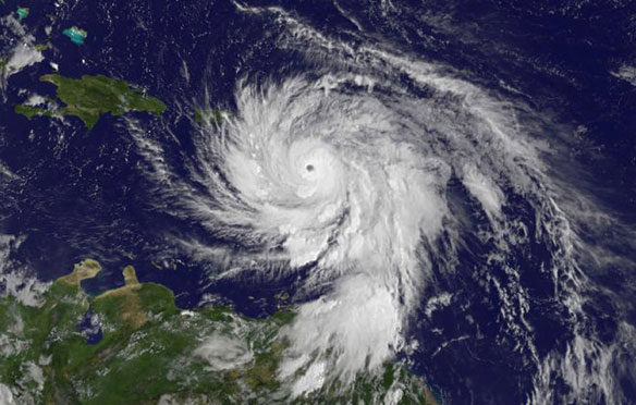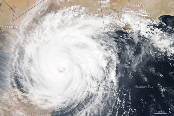
At 12:40 p.m. local time (09:40 Universal Time) on November 2, 2015, the Moderate Resolution Imaging Spectroradiometer (MODIS) on NASA’s Aqua satellite captured this image of category 3 Cyclone Chapala over the Gulf of Aden. Captions and Photo source: NASA Earth Observatory
Excerpts;
Honing in on the southern Arabian Peninsula, Chapala is packing winds of 120 mph, with gusts up to 150 mph. Wave heights around the storm are 30 feet. Chapala’s winds will certainly be strong as it washes ashore, but its rainfall will be the most life-threatening impact for coastal Yemen…
Read Full Article, The Washington Post
Yemen island hit as Cyclone Chapala heads for mainland, BBC News
A rare tropical cyclone has hit the remote Yemeni island of Socotra, before heading towards the Yemeni mainland. It is believed to be the most powerful storm that Yemen has seen in decades. The UN’s World Meteorological Organisation described the cyclone as “extremely severe”, and said that sea conditions around the centre of the storm were “phenomenal”…
Rare Cyclone Heads for Arabia, NASA Earth Observatory (10-31-2015)
Socotra: The Isle of The Dragonsblood, The New York Times (02-14-2012)


