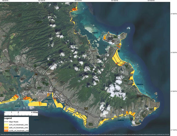
USGS Responds to Hurricane Lane

USGS deployed 44 instruments off the coast of the Hawaiian island of Molokaʻi as part of an experiment on a coral reef-lined shoreline. There is also a camera system on shore measuring wave-driven run-up and flooding. It is the largest-ever project looking at waves, wave-driven flooding and coastal change. The data collected before, during and after Hurricane Lane will improve the basic understanding of coastal change processes.
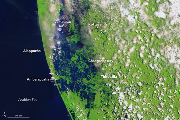
Before and After the Kerala Floods

Swollen rivers have altered the landscape in India’s state of Kerala. Residents in India’s state of Kerala are reeling from a “once-in-a-century” flood that displaced nearly a million people.
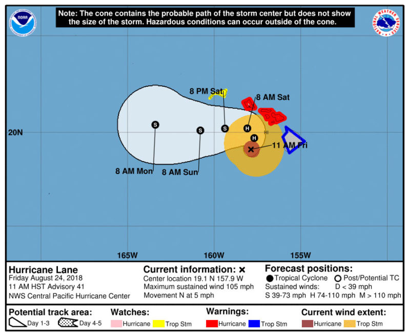
Hurricane Lane: Category 2 storm bringing “catastrophic flooding” to Hawaii

The Category 2 storm was expected to turn west on Saturday before reaching the islands and skirting Oahu — the state’s most populated island. Even without making a direct hit, forecasters said the system threatened to bring a huge storm surge, high wind and heavy rain.
