Skip to content
  • Home | News
  • Coastal Issues
    • Sand Mining
    • Pollution
      • Plastic
      • Hydrocarbons
    • Shoreline Armoring + Coastal Engineering
    • Dams + Sand Supply Reduction
    • Beach Nourishment + Maintenance
    • Problematic Coastal Development
    • Habitat | Ecosystem Destruction
    • Climate Change | Sea Level Rise
  • Beach Basics
    • Reading a Beach
    • Waves
    • Exploring Beach Sand
    • Tides
    • Cyclones | Typhoons | Hurricanes
    • Sand Dunes
    • Coral Reefs
    • Seashells
  • Coastal Care JR
  • Art + Science
  • Resources
    • Book Reviews
    • Beach Science Bibliography
  • Ask an Expert
  • About
  • Contact

Day: September 2, 2017

Satellite photos reveal how Mumbai killed its mangrove forests to risk epic floods

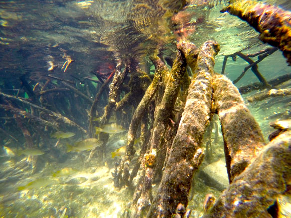
Mumbai is essentially a peninsula jutting into the Arabian Sea. Since the 1980s, the city’s population has more than doubled. That’s led to rapid urbanisation of the surrounding areas, as well as encroachment of the mangroves on the city’s edges.

Menu
  • Home | News
  • FAQ
  • Privacy Policy
  • Legal Notice
  • Archived Menu
  • Contact
Instagram Facebook Twitter

© 2010 – 2022 CoastalCare.org