Excerpts;
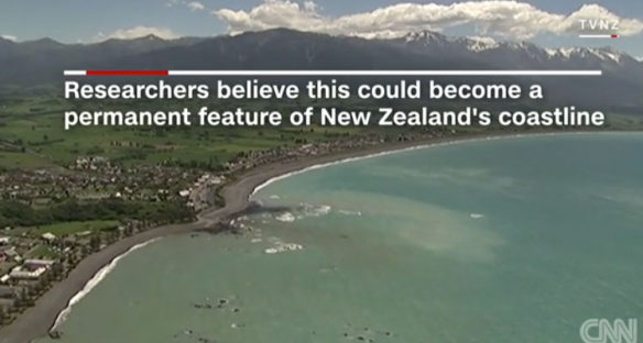
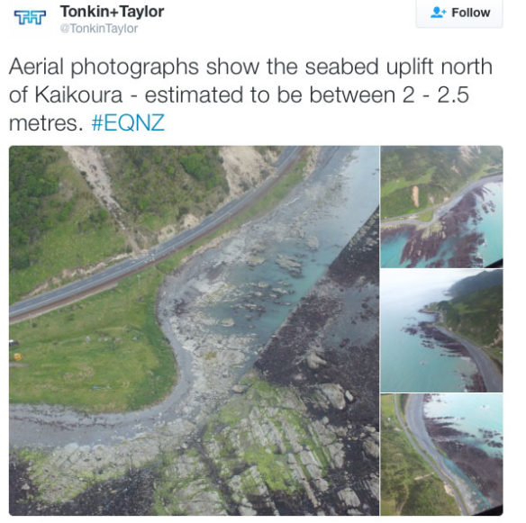
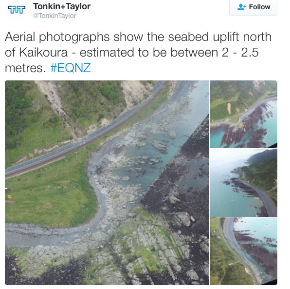
A 7.8-magnitude earthquake lifted New Zealand’s shore, leaving its northeastern coastline exposed.
Researchers estimate that the coast was raised between 0.5 m and 2 meters in the northeastern region of the South Island, from about 20 km south of the town of Kaikoura all the way north to Cape Campbell.
Incredible photographs show the extent of the devastation on South Island’s coastline from Monday’s quake.
Read Full Article And View Video, CNN (11-18-2016)
New Zealand Quake Ruptured 6 Faults; LiveScience (11-16-2016)
Now geologists are scrambling to figure out what this means for earthquake risk in the region…
Quake strikes New Zealand, thousands flee homes as tsunami hits; Reuters (11-13-2016)


