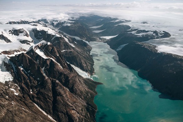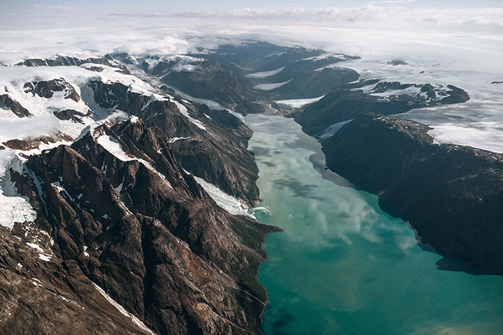
Image acquired 2013.
By analyzing old photographs from the early 1900s and comparing them with contemporary ones, researchers have mapped the retreat of some Greenland glaciers. NASA / Earth Observatory

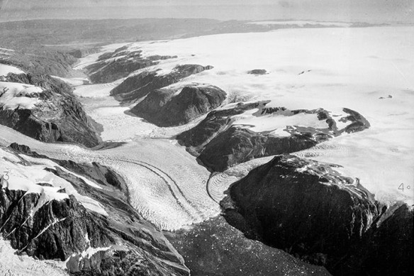
Image acquired 1935.
In the example above, the images show changes to a glacier in the vicinity of the Sukkertoppen ice cap in southwest Greenland. By summer 2013 (top), the glacier had retreated by about 3 kilometers (less than two miles) since summer 1935 (bottom), according to researcher Anders Bjørk of the Natural History Museum of Denmark. NASA / Earth Observatory
Excerpts;
Existing computer models may be severely underestimating the risk to Greenland’s ice sheet — which would add 20 feet to sea levels if it all melted — from warming temperatures, according to two studies released Monday…
New Insight from Old Snapshots of Greenland, NASA / Earth Observatory


