By NASA Goddard Space Flight Center;
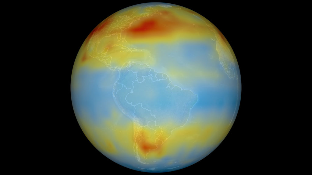
When scientists got their first glimpse of satellite data showing the distribution of carbon dioxide throughout the atmosphere, they in part saw what they expected: an uneven distribution of the greenhouse gas over the globe, with higher levels in the more populated, more industrial Northern Hemisphere.
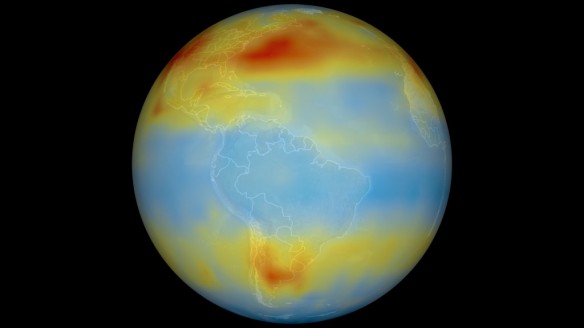
But they also saw a dominant feature that was wholly unexpected. A continuous belt of higher carbon dioxide concentrations circled an area in the Southern Hemisphere that covered the tip of South America, Africa and southern Australia. Computer models that predict how chemicals move throughout the atmosphere did not predict this band.
Scientists now think that strong thunderstorms and winds that flow around South America’s high Andes Mountains lift carbon dioxide into what’s called the “free troposphere.”
There it becomes trapped in the jet stream of the mid-latitudes, which propel it around the world.
The sources of this belt are many: industry and power plants in coal-rich South Africa, electricity generation in eastern Australia and in Buenos Aires, Argentina, as well as plant respiration and fires.
©© Zabdiel to see the first evidence of the belt, as detected by the Atmospheric Infrared Sounder (AIRS) instrument aboard NASA’s Aqua satellite in 2003.
AIRS now provides scientists with unprecedented global data on greenhouse gases in the atmosphere.
Original Article and Learn More, NASA Goddard Space Flight Center
Stunning NASA Visualization Reveals Secret Swirlings of Carbon Dioxide, National Geographic


