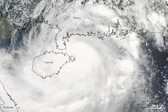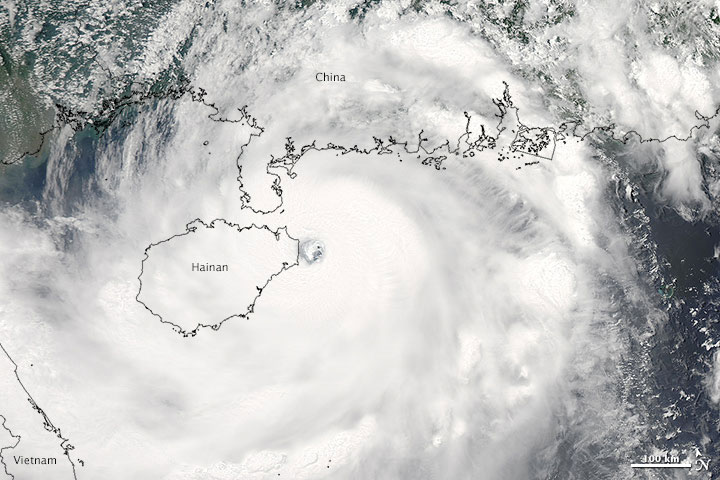
The Moderate Resolution Imaging Spectroradiometer (MODIS) on NASA’s Aqua satellite acquired this image of Typhoon Rammasun at 1:35 p.m. local time (0535 UTC) on July 18, 2014. In the image, the storm has a well-defined eye situated just off the coast of northern Hainan; it is surrounded by bands of thunderstorms stretching across the South China Sea and the Gulf of Tonkin. Image and Captions source: NASA / Earth Observatory
Excerpts;
Three days after drenching the central Philippines in flooding rains, Typhoon Rammasun smashed into southeastern China and was still headed for northeastern Vietnam early on July 19, 2014. With a name meaning “thunder of God,” Rammasun approached the coast as a category 4 super typhoon and one of the strongest to hit China’s Hainan Province in 41 years.
The warming of ocean waters due to the buildup of greenhouse gases in the atmosphere is a concern for the future threat of tropical cyclones, though exactly how climate change will affect the frequency and intensity of storms is an active area of research…
Read Full Article, Climate Central
Typhoon Rammasun Making Landfall in China, NASA / Earth Observatory


