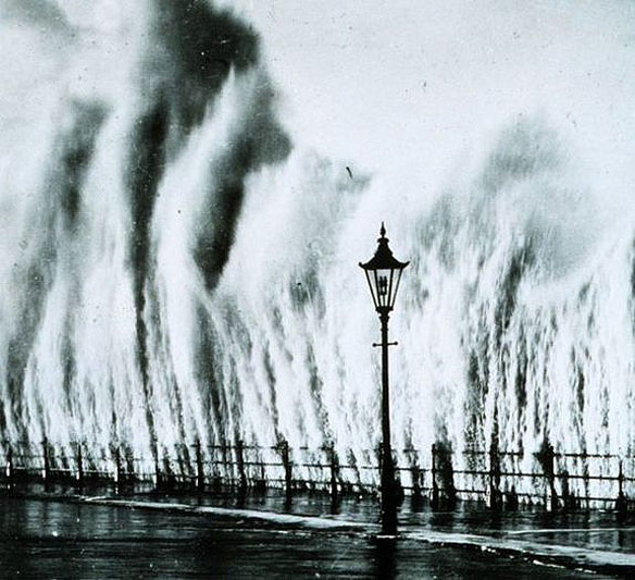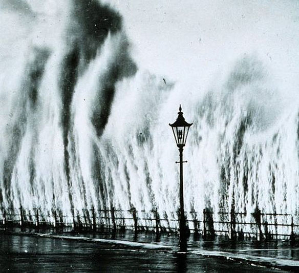
A wave from the 1938 hurricane strikes a seawall in New England. Photo source: NOAA
Excerpts;
When the Atlantic hurricane season opens June 1, national forecasters will roll out a new feature: color-coded and broadcast-ready maps to graphically show the potential for flooding from storm surges…


