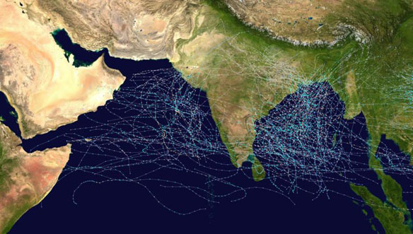
This map shows the tracks of all Tropical cyclones which formed in the north Indian Ocean, or moved into that basin from the northwest Pacific Ocean, from 1970 to 2005. The points show the locations of the storms at six-hourly intervals and use the color scheme shown to the right from Saffir-Simpson Hurricane Scale. Gray points denote unknown strength storms. Captions and Photo source: Joint Typhoon Warning Center
Excerpts;
Morning light revealed damage from Tropical Cyclone Phailin after it pounded the eastern coast, the strongest storm in India in 14 years…
800,000 Evacuated as Powerful Cyclone Hits India, The New York Times


