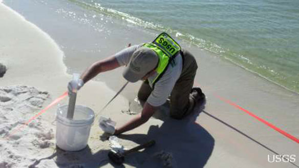
U.S. Geological Survey scientists collected environmental data and samples in coastal areas affected by the 2010 Deepwater Horizon oil spill in the Gulf of Mexico. Samples of water, sediments, benthic invertebrates, and microorganisms were collected at beach, barrier islands, and wetland environments of the Gulf of Mexico coastal states before and after petroleum-associated product arrived on shore.
Photo source: ©© Lori Lewis (USGS)
Excerpts;
Restoring the flow of sediment to Gulf Coast wetlands and barrier islands that are key wildlife habitats and provide crucial protection from storms is one of the biggest challenges officials face as they seek to restore a region whose long-time ecological problems came into focus after last year’s disastrous oil spill…

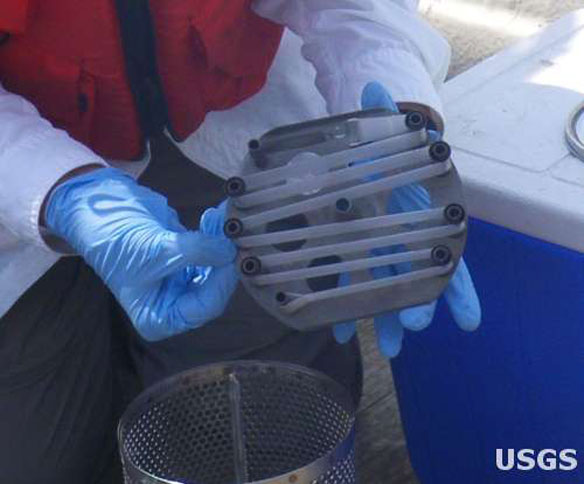
Although oil and water do not normally mix, oil contaminants in waterways can be measured using a special membrane nicknamed a “fatbag.” The fatbags absorb many fat-soluble chemicals from the water at a known rate, so they can be used to estimate the concentration of such chemicals.Caption and photo source: U.S. Geological Survey, Mike Randall ©© Mike Randall
Texas wetland restoration could be model for Gulf
Gulf Coast Ecosystem Restoration Task Force
The Gulf Coast Ecosystem Restoration Task Force was created by President Obama through an Executive Order on October 5, 2010, and is the result of a recommendation on long term recovery following the Deepwater Horizon Oil Spill.


